Our First Bikepacking Trip: A One-Night Shakeout Ride from Our Back Door
2Days 1Night Out ~25Miles Round Trip 10,480′High Point 0Regrets For years we h ..
Read more
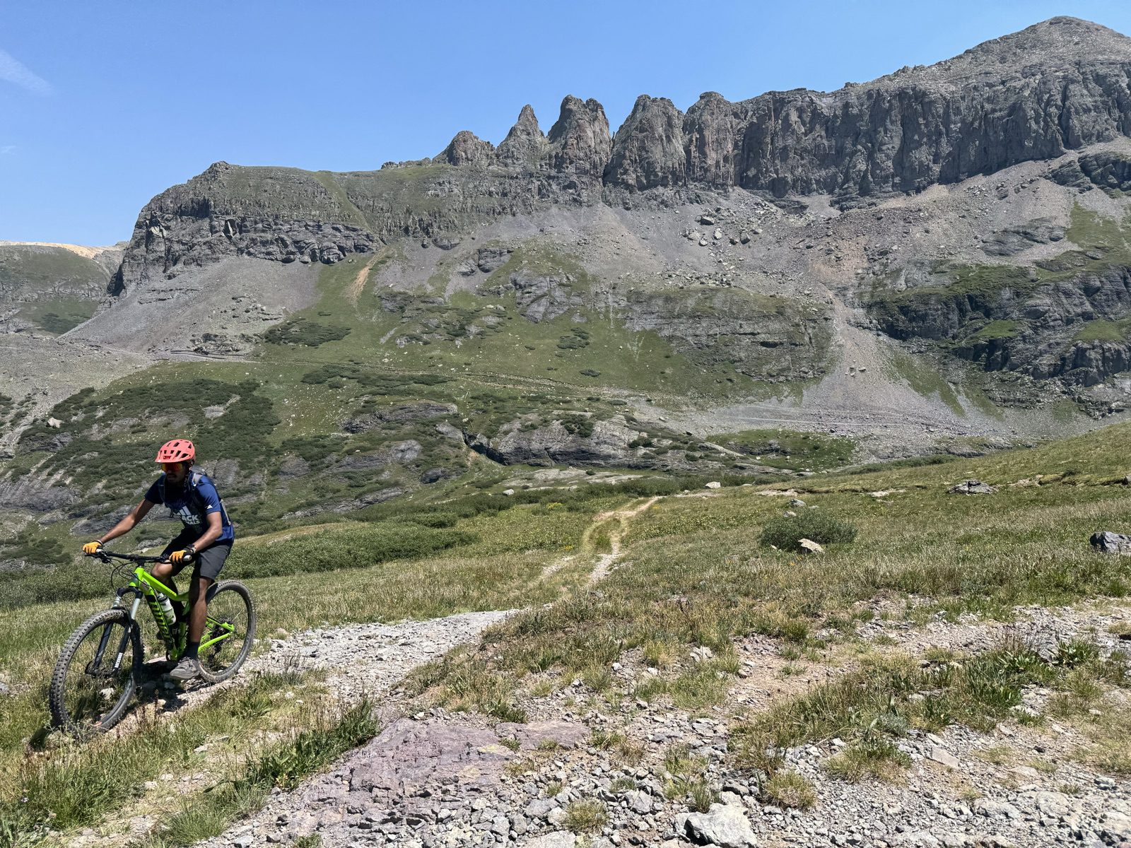
Some rides sit on the list for years. This one had unfinished business: our first attempt at the Wasatch Loop ended in the high country with a thunderstorm rolling in and a long retreat down the road. This summer, with my nephew in town — we have a standing tradition of big days in the mountains, trail running or riding — we finally went back and closed the loop.
The ride, by the numbers
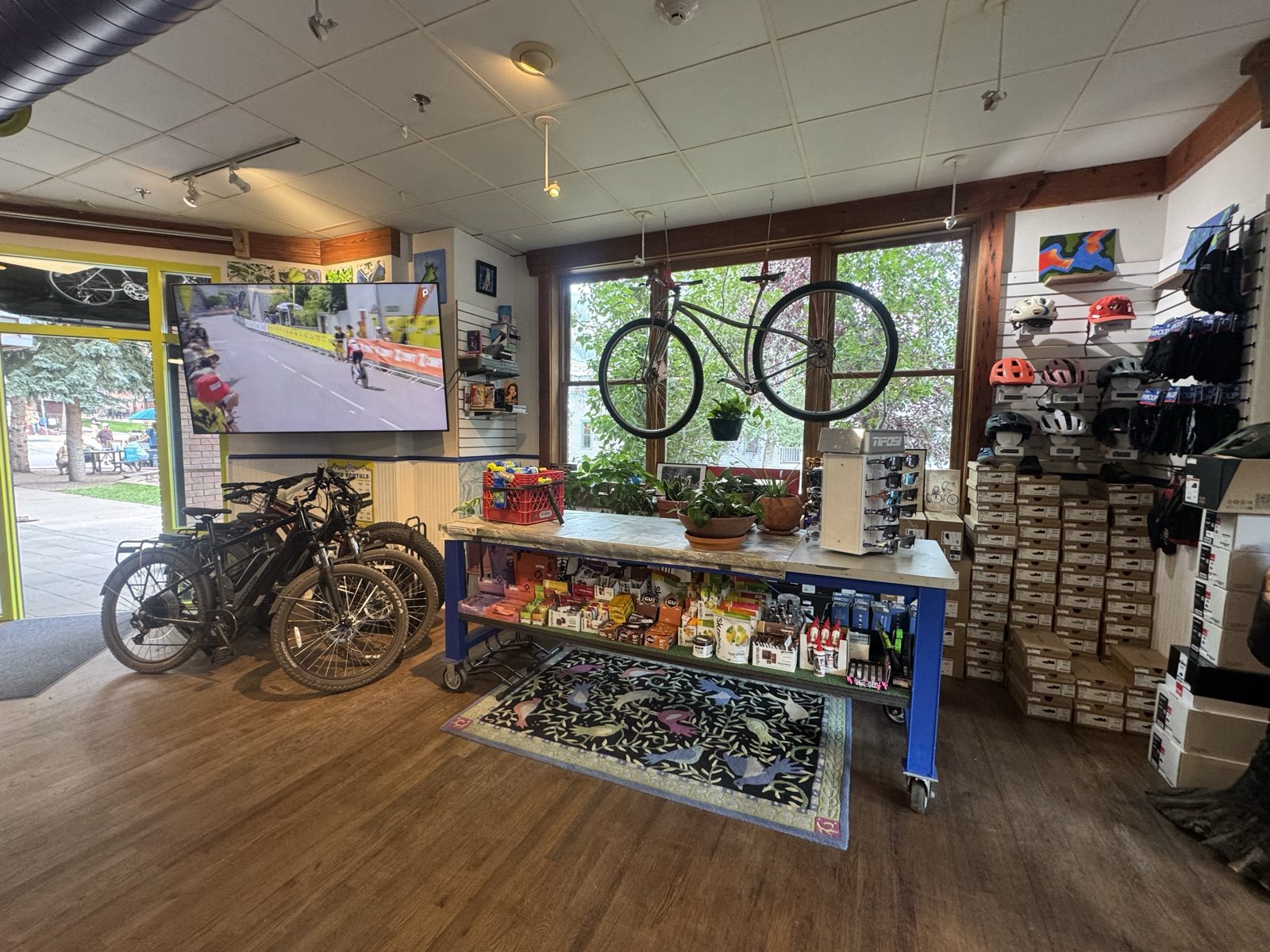
We kicked things off at Telluride Cyclery — a quick bike check, ride snacks, and the thing you cannot download: local beta. Max pointed us at a detour we would never have prioritized on our own — the spur to Lewis Lake and the old mill above it — and it turned into the highlight of the whole ride. This is exactly why we stop at local shops instead of leaning only on online research. #supportlocal
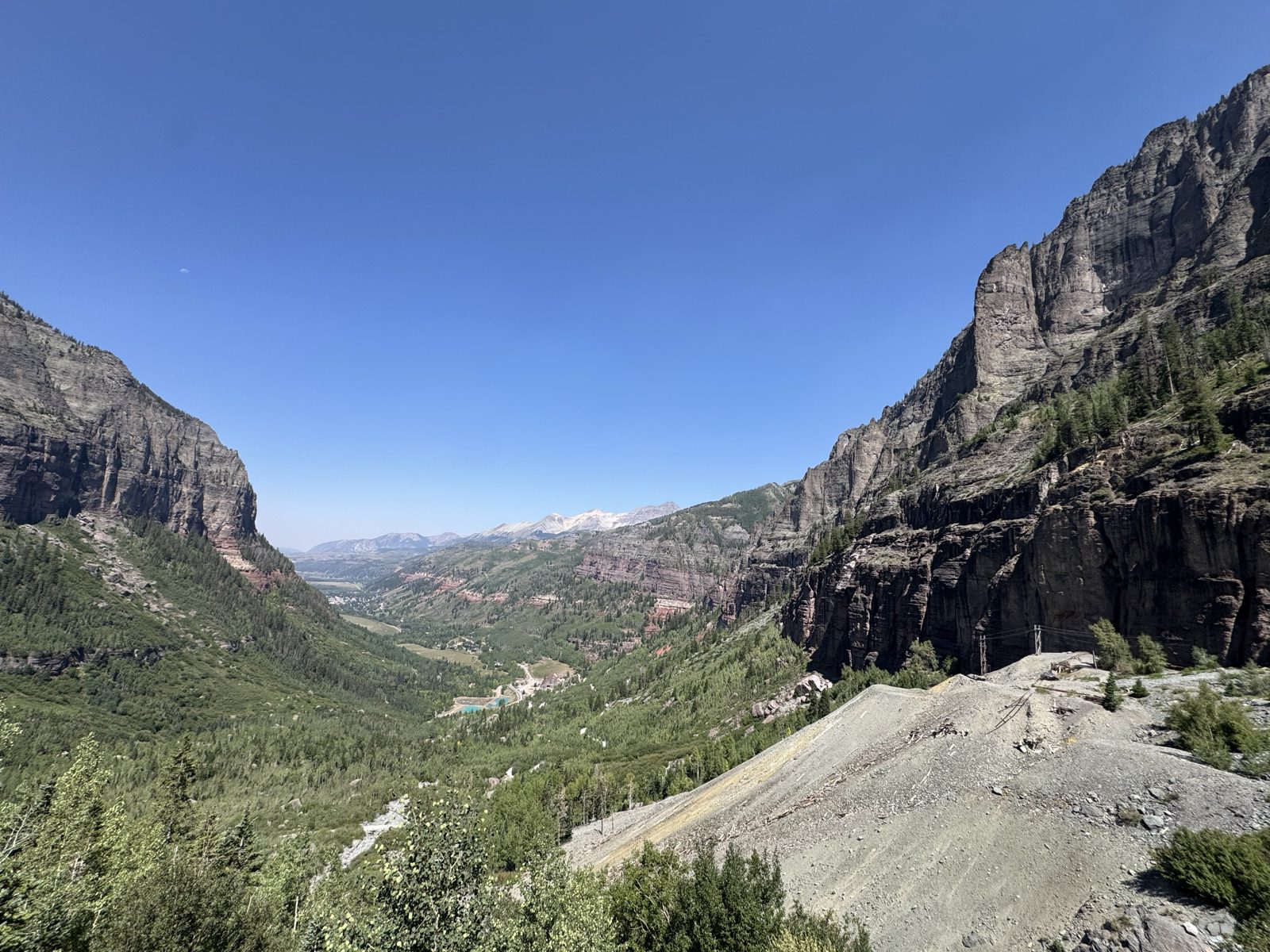
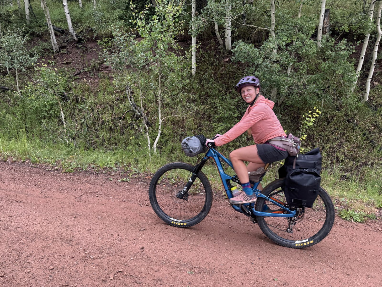
The route wastes no time: from town you point uphill and stay there. The first 9.5 miles climb roughly 4,000 feet with barely a flat pedal stroke — up the switchbacks past Bridal Veil Falls, Colorado’s tallest free-falling waterfall, where the road turns to one-way jeep traffic. We knew what we signed up for. Honestly, we love climbing. It helps.
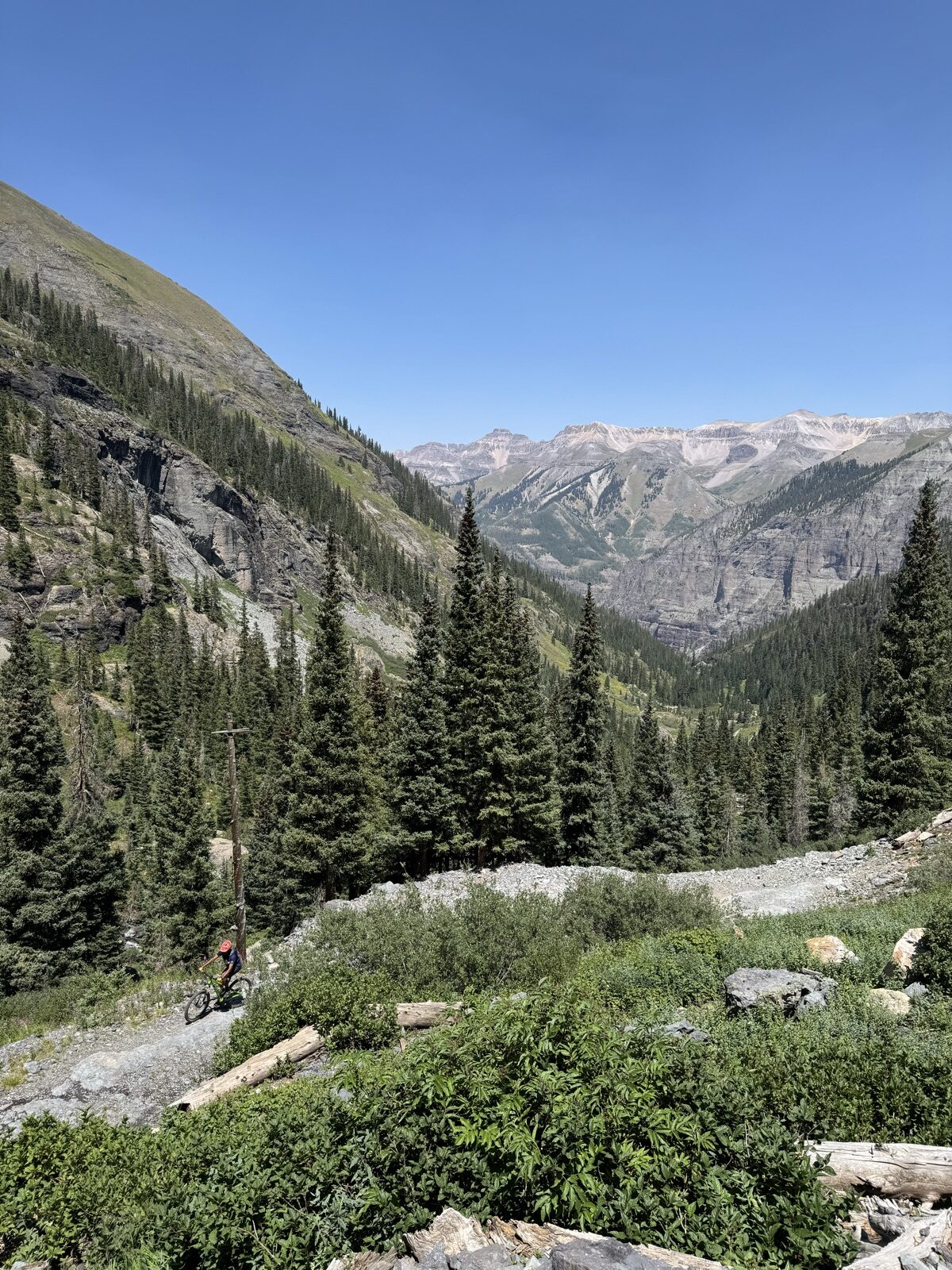
Past the falls you roll through a gate and the basin goes quiet — no vehicles are permitted beyond the top of the falls, and the old mining doubletrack into Bridal Veil Basin was completely empty. Just switchbacks, creek crossings, and the kind of views that make you forget your heart rate.
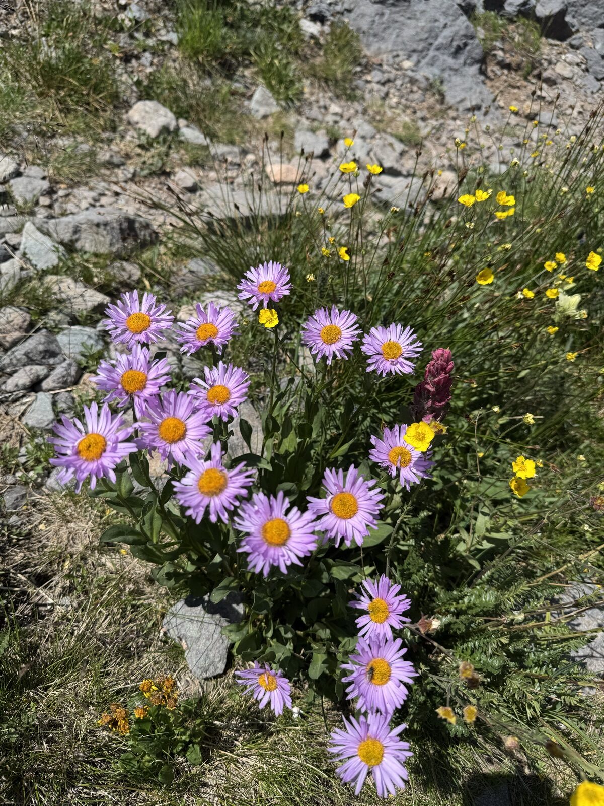
At mile 8.4, right where the Trailforks map shows the Lewis Lake spur peeling off, we took the shop’s advice: 0.9 miles and about 400 more feet of climbing. What was still blooming up there in early August surprised us — banks of subalpine fleabane, alpine avens, and rosy paintbrush at 12,300 feet, this late in the season.
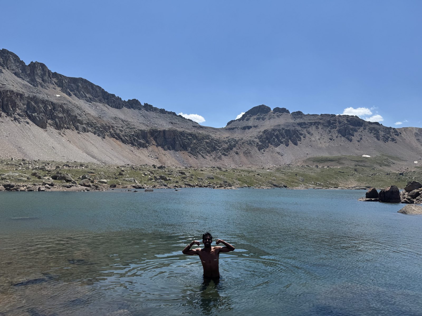
The lake itself sits at 12,700 feet in a stark glacial bowl. We took a dip. “Refreshing” is one word for it.
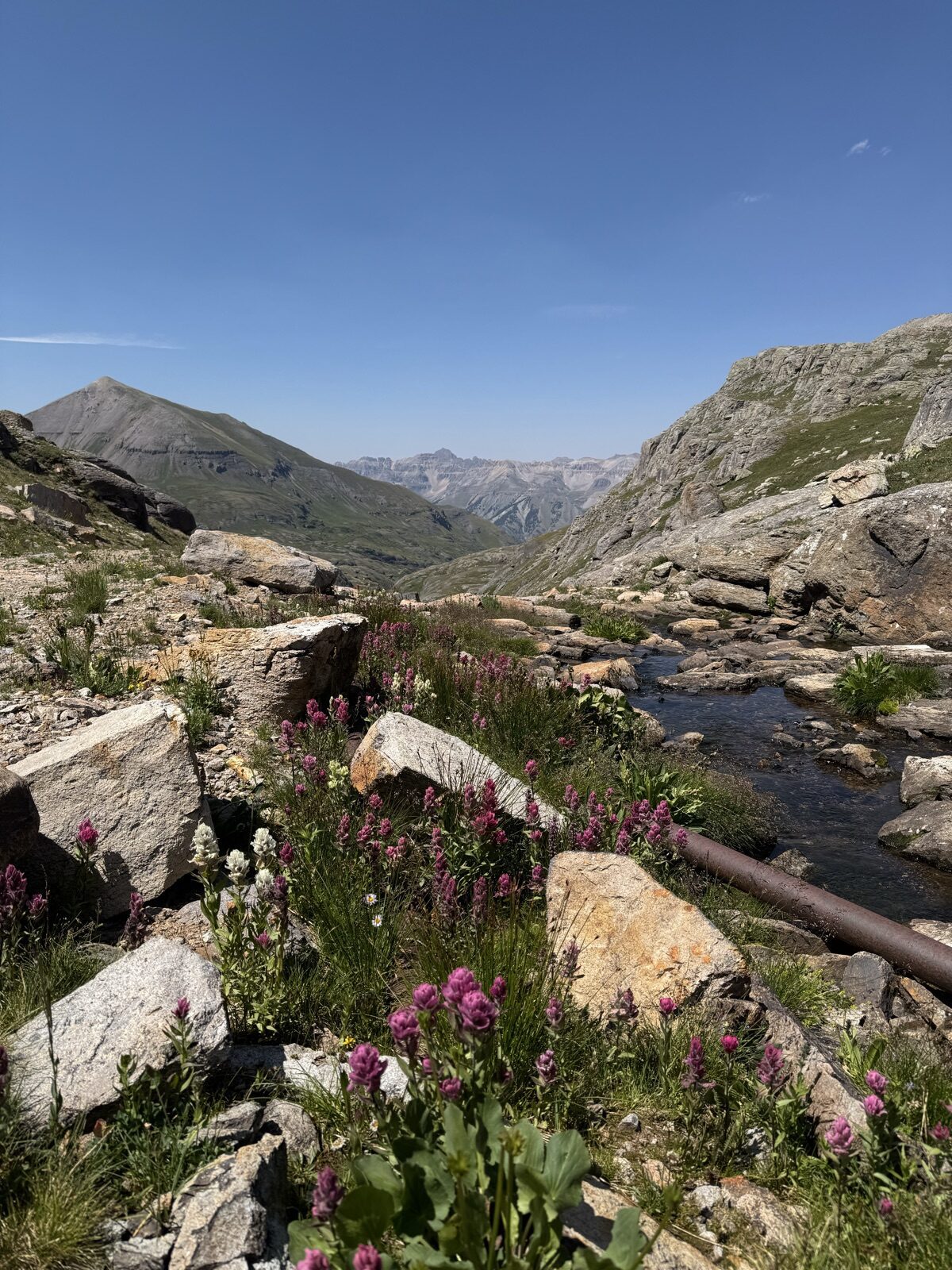
Just below the lake, the route passes the remains of the historic Lewis Mill — you ride right past the old iron penstock that once fed the mill workings. Mining history at 12,600 feet, wildflowers growing through it.
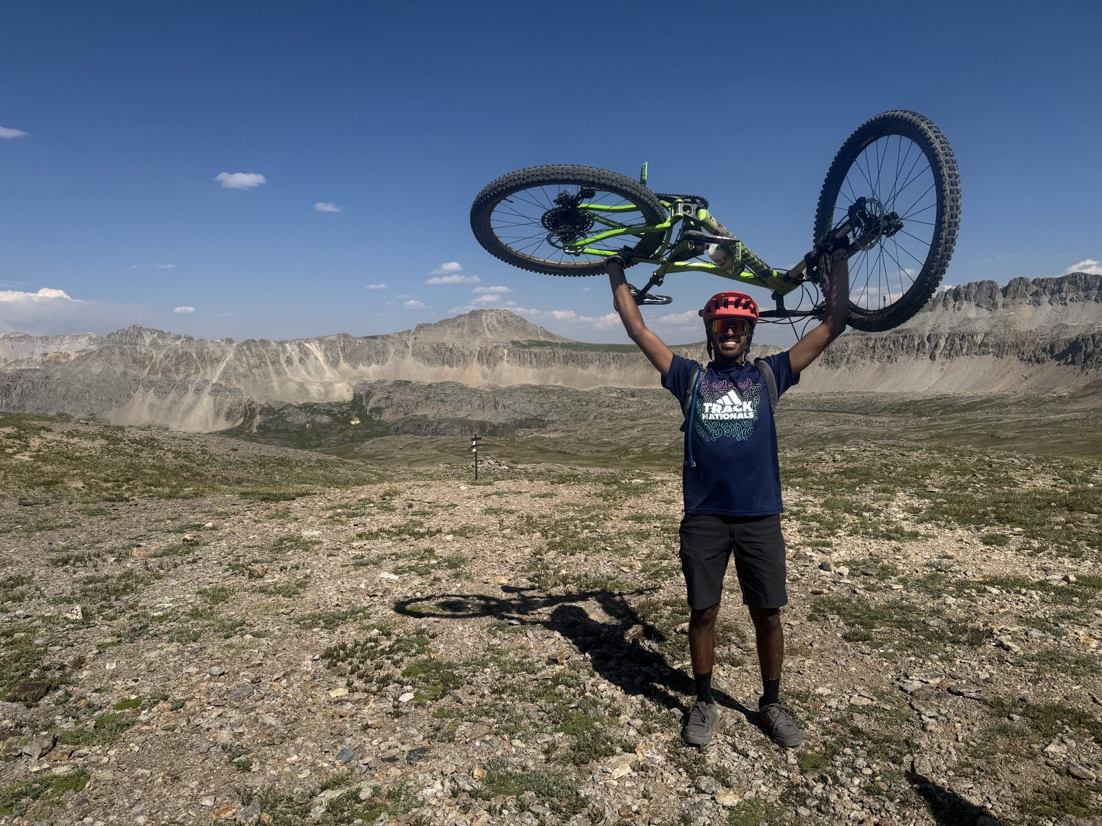
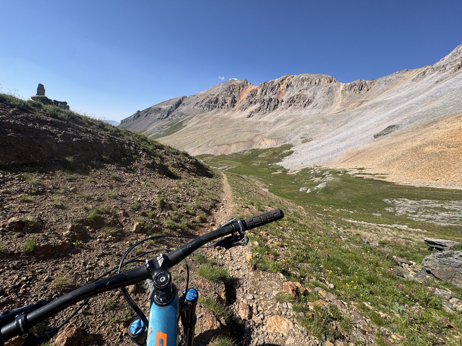
Back on the main line, the climb tops out at a saddle above the basin at 13,073 feet — mile 12.4, about four hours of moving time in. Bikes went overhead. It felt earned.
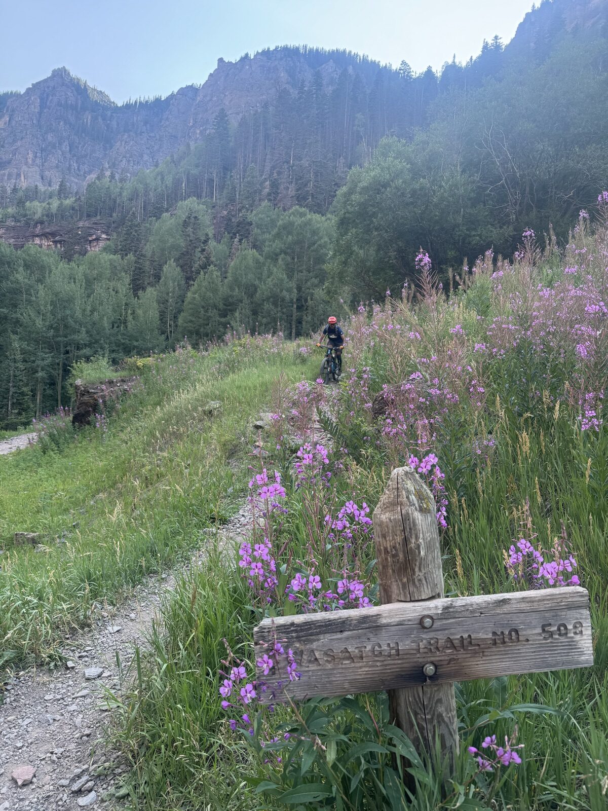
At mile 14.1 the route forks: East Fork Bear Creek (a double-black on Trailforks) or Wasatch Trail (Upper). East Fork looked even steeper from where we stood, so we took Wasatch — which was itself steep, loose, black-diamond riding that demanded full attention the whole way down. This is not a descent to underestimate.
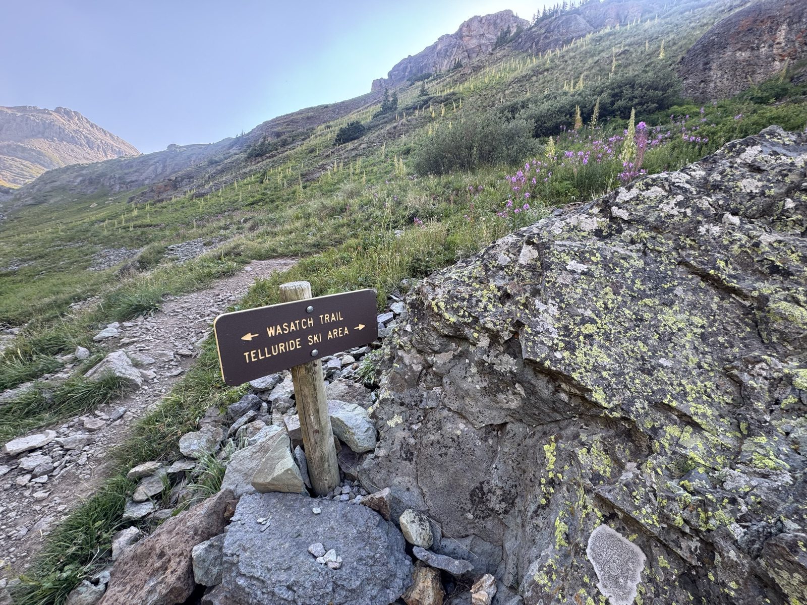
Then the reward: a stretch of new singletrack built parallel to the Bear Creek road, all the way back toward town. After the loose, brake-burning upper mountain, that tacky, buffed dirt was the finish both of us needed. We rolled off the trail grinning.
The route
Town → Bridal Veil Basin → Lewis Lake → 13,073 ft → Wasatch → town
Tap the markers — the amber ones are where decisions got made.
Before you go
This is a big, real backcountry day
Call it 19 miles with 5,400 feet of climbing, almost all of it above 10,000 feet and a chunk of it above 12,000. There is no cell service for most of the route, we saw only a handful of people all day, and afternoon storms own these basins — our first attempt at this loop years ago ended in a thunderstorm retreat down the road.
Follow Leave No Trace — especially Plan Ahead and Prepare: early start, layers, real food, water treatment, and a hard turnaround time. The descent is steep, loose, black-diamond riding; walk anything you would not roll twice.
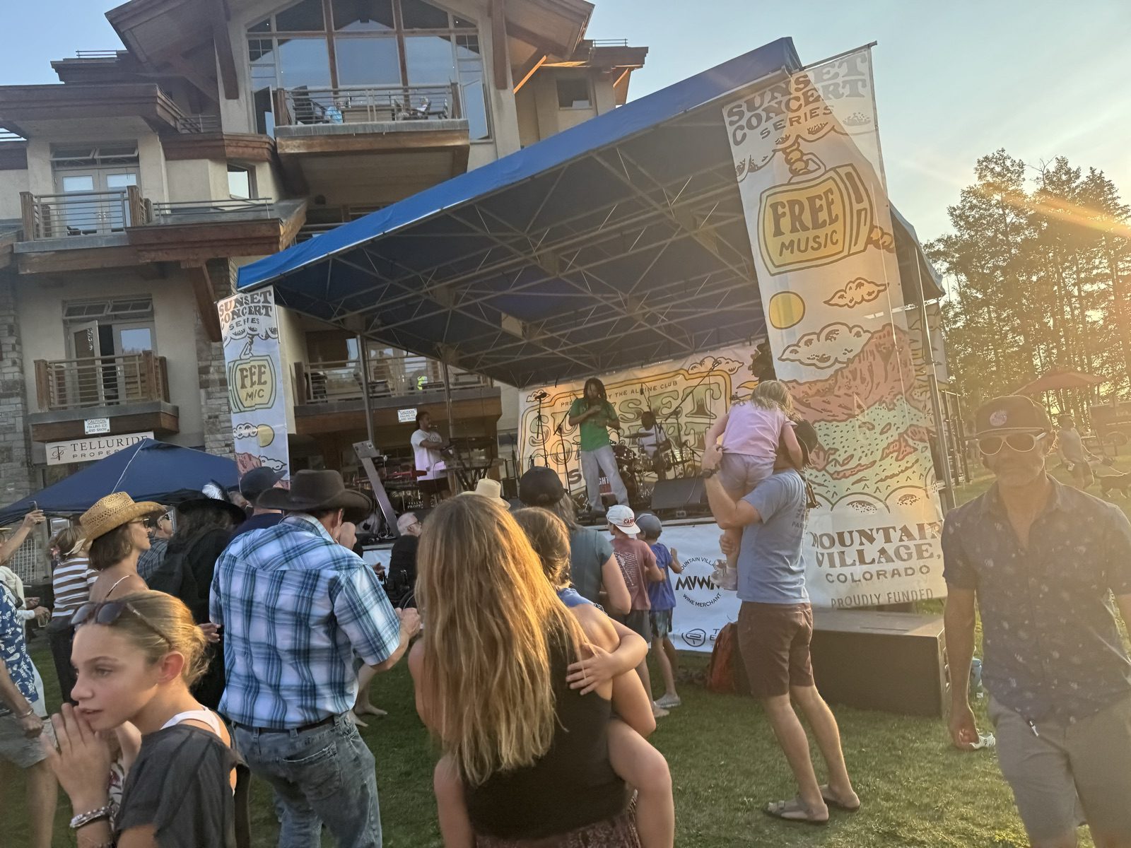
We ended the day the Telluride way: legs empty, dancing badly at the free Sunset Concert Series over in Mountain Village. Big alpine loop, a swim at 12,700 feet, mining history, wildflowers, black-diamond descending, live music. One day. That is why this town is on every rider’s list.
Plan your own Telluride ride
Rent a bike from Telluride Cyclery →All Telluride mountain biking adventures →Everything to do in Telluride →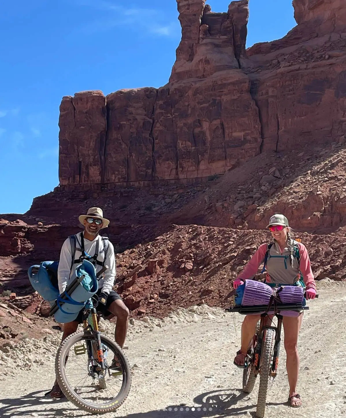
We’re Julie & Reet, the outdoor adventurers behind TripOutside. We love human-powered outdoor adventures and have traveled to hundreds of destinations that you see on TripOutside.
Read more..





We’re Julie & Reet, the outdoor adventurers behind TripOutside. We love human-powered outdoor adventures and have traveled to hundreds of destinations that you see on TripOutside.
Read more..
We fully understand how tough it is to find trustworthy travel advice, and that’s one of the main reasons we built TripOutside. We live for outdoor adventure, and we take these blogs and content very seriously. Here are some of the reasons you can trust us:
We only work with the highest-rated outfitters in the industry.
We’ve traveled to hundreds of destinations that you see on TripOutside in our RV over 6 years and want to share the places that we love with you.
We don’t distract you with any ads and never sell your personal information, ever.
We are a small, self-funded team and only grow with your support. You can support us by booking your next outdoor adventure on TripOutside.
We want to help you get outside. Please share your feedback with us on how we can help make TripOutside work for you!
2Days 1Night Out ~25Miles Round Trip 10,480′High Point 0Regrets For years we h ..
Read more
TripOutside Trip Report · San Juan Mountains, ColoradoHighland Mary Lakes: A Two-Day San Juan Ba ..
Read more
Exploring Puerto Rico Region by Region: The Ultimate Trip Planning Tool Puerto Rico is one of th ..
Read more
Outdoor Adventures & Activities in San Juan If you’re looking for the best things to do in ..
Read more
Exploring Arches National Park by E-Bike: The Ultimate Hack We’ve been dreaming about riding e ..
Read more
Copyright © TripOutside
Outdoors Made Easy.
Discover handpicked,
human-powered adventures
with trusted local
outfitters and guides.
Easy to book. Epic to experience.
Follow Us